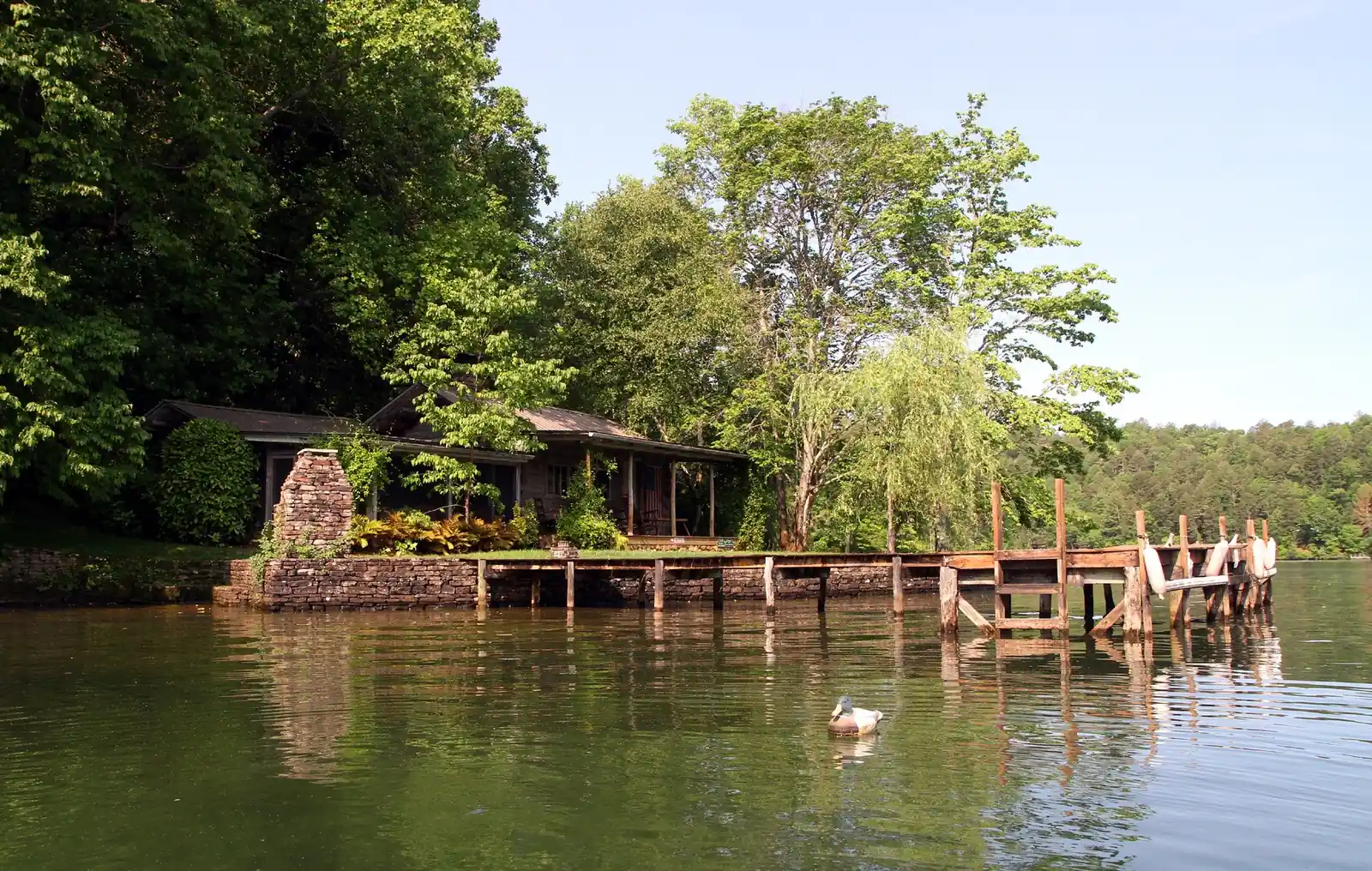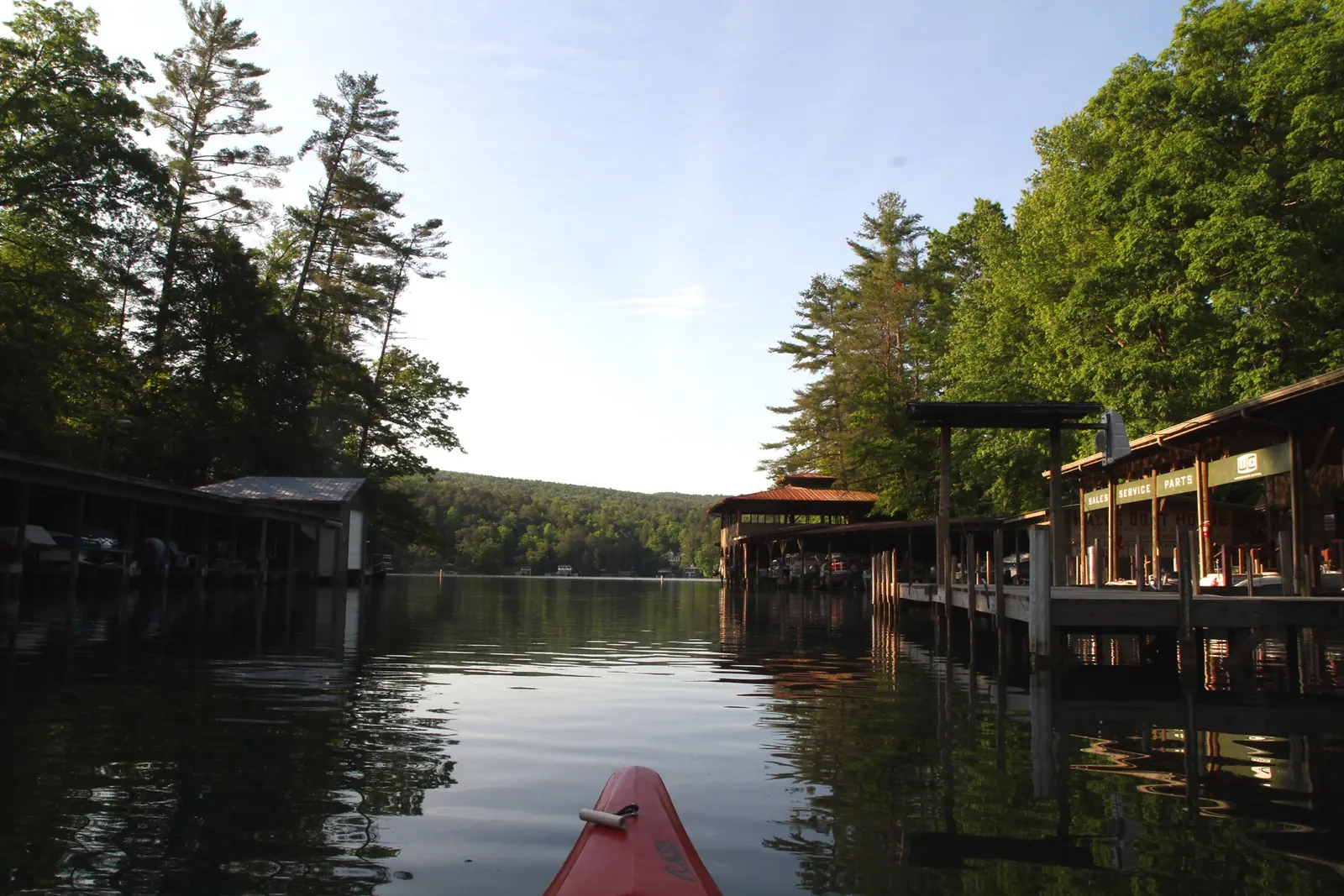
A chain of six lakes
- Between 1913 and 1927, six hydroelectric dams and plants were built along a 26-mile stretch of the Tallulah and Tugalo rivers, where the river drops 1,200 feet. From north to south they form Lake Burton, Lake Seed, Lake Rabun, Lake Tallulah, Lake Tugalo and Lake Yonah, and all six plants still operate. Rabun County Historical Society: Electricity for Atlanta (Richard Cinquina; first published in The Georgia Mountain Laurel, July 2020)
- Georgia Power's lake-level page lists these full-pool elevations: Lake Burton 1,866.6 feet, Lake Seed (Nacoochee Dam) 1,752.5 feet, Lake Rabun (Terrora Dam) 1,689.6 feet and Tallulah 1,500 feet. Burton has the highest full elevation of any lake on that page. Georgia Power Company: Lake Levels (readings for 10/18/26)
- Georgia Power's North Georgia lakes are Burton, Rabun, Yonah, Seed, Tugalo and Tallulah Falls. The company's North Georgia Lakes Resources Office is at 4 Seed Lake Road, Lakemont (706-746-1450). Its Lake Seed primitive campsites are open April 1 through November 1. Georgia Power: North Georgia Lakes
Lake Burton
- The 128-foot Burton Dam was completed in December 1919, and the reservoir was full by August 1920. It submerged the town of Burton, which Georgia Railway and Power had begun buying in 1917. The Historical Society gives the lake as 2,775 acres. Rabun County Historical Society: Electricity for Atlanta
- Georgia DNR's Wildlife Resources Division describes Lake Burton as a reservoir between Clayton and Hiawassee that supports Georgia's only reservoir trout fishery. Its fact sheet gives the size as 2,785 acres. Georgia DNR Wildlife Resources Division: Lake Burton Trout Fishery (undated PDF)
Lake Seed
- Nacoochee Dam was completed in 1926 between Burton Dam and Mathis Dam. At 75 feet high and 490 feet long, it impounds 240-acre Lake Seed. Rabun County Historical Society: Electricity for Atlanta
Lake Rabun
- Mathis Dam was completed in 1915 as a storage reservoir. At 108 feet high and 660 feet long, it impounds 834-acre Lake Rabun. Water reaches the Terrora power plant through a mile-long tunnel finished in 1924. Rabun County Historical Society: Electricity for Atlanta
Public access, beaches and parks
Timpson Cove Beach (Lake Burton)
Georgia Power (North Georgia Lakes)
About 13 min by car from downtown (computed route)
Georgia Power property on Lake Burton; Georgia Power's recreation table lists picnicking, swimming and restrooms. Fees and hours are not published there.
Source: Georgia Power: North Georgia Lakes recreation table, checked 2026-10-18
Jones Bridge Park (Lake Burton)
Georgia Power (North Georgia Lakes)
About 14 min by car from downtown (computed route)
Georgia Power picnic park at the north end of Lake Burton beside US 76; Georgia Power's table lists picnicking only.
Source: Georgia Power: North Georgia Lakes recreation table, checked 2026-10-18
Black Rock Lake Trail
Georgia Department of Natural Resources, State Parks & Historic Sites (Black Rock Mountain State Park)
About 17 min by car from downtown (computed route) · 0.9 mi round trip Agency: '0.85 mile loop. Rated easy.' · Rated easy by the agency
Gently rolling loop around the 17-acre lake, with wooden bridges over Taylor and Greasy creeks and an 80-foot bridge over Cricket Cove.
Fee: $10 daily ParkPass per vehicle (annual ParkPass $70), per Georgia State Parks.
Hours: Park 7 a.m.-10 p.m.
Dogs: Leashed pets (6-foot leash maximum) are welcome at Georgia state parks; pets are not allowed in buildings, swimming areas or beaches.
Source: Georgia State Parks: Black Rock Mountain trails, checked 2026-10-18
Moccasin Creek State Park (Lake Burton)
Georgia Department of Natural Resources, State Parks & Historic Sites (Moccasin Creek State Park)
About 23 min by car from downtown (computed route)
Lakeside state park on 2,775-acre Lake Burton with a campground, boat ramp and fishing pier; the park lists a 1-mile Wildlife Loop Trail and the Hemlock Falls Trail.
Fee: $10 daily ParkPass per vehicle (annual ParkPass $70), per Georgia State Parks.
Hours: Park 7 a.m.-10 p.m.; office 8 a.m.-4:30 p.m.
Dogs: Leashed pets (6-foot leash maximum) are welcome at Georgia state parks; pets are not allowed in buildings, swimming areas or beaches.
Access: The park lists an ADA-accessible fishing pier and says its relatively flat grounds suit wheelchairs.
Source: Georgia State Parks: Moccasin Creek State Park, checked 2026-10-18
Lake Rabun Beach Recreation Area
USDA Forest Service, Chattahoochee-Oconee National Forests (Chattooga River Ranger District)
About 28 min by car from downtown (computed route)
Forest Service swim beach, boat launch and picnic area on Lake Rabun.
Fee: Day use parking $5 per person ages 16+; buses and vans $5 per vehicle plus $2 per person; boat and trailer launch $5. Interagency Senior and Access passes accepted.
Hours: Boat launch and beach areas open sunrise to sundown.
Good to know: Boat area open year-round; the 80-site campground across the road closed Oct. 28, 2025 and reopened April 1, 2026 (the page has not posted the 2026 closing date). No overnight parking.
Source: USDA Forest Service: Lake Rabun Beach Recreation Area, checked 2026-10-18
Questions
How far is Black Rock Mountain from downtown Clayton?
Black Rock Mountain State Park is about two miles in a straight line north-northwest of downtown Clayton, measured from Main and Savannah Streets to the park's published GPS point. The road climbs steeply, so the drive takes longer. The address is 3085 Black Rock Mountain Parkway, Mountain City, and the park is open 7 a.m. to 10 p.m.
Source: Georgia State Parks: Black Rock Mountain (GPS, address, hours); distance computed by the editors
Is Black Rock Mountain the highest state park in Georgia?
Yes. At 3,640 feet, Black Rock Mountain is Georgia's highest state park, though Brasstown Bald is the state's highest peak. The park sits on the Eastern Continental Divide and has overlooks with 80-mile views, 11 miles of trails, a 17-acre lake, cottages and campsites. It is often cooler than other parks and may close in icy weather.
Source: Georgia State Parks: Black Rock Mountain; Leaf Watch 2026
How much does it cost to visit Black Rock Mountain or Tallulah Gorge?
Parking costs $10 per vehicle per day at Georgia State Parks, including Black Rock Mountain and Tallulah Gorge. One daily pass covers more than one state park on the same day. An annual ParkPass costs $70, with 50% off for seniors 62 and older and 25% off for military and veterans if bought in person.
Source: Georgia State Parks: ParkPass
Do I need a permit to hike the Tallulah Gorge floor?
Yes. A free gorge-floor permit is required, and only 100 are issued each day. You get one at the Interpretive Center on the day of your hike after a safety briefing at 8 a.m., 10 a.m. or noon; you cannot reserve ahead. Permits often run out early on busy days. None are issued on water-release dates.
Source: Georgia State Parks: Tallulah Gorge State Park (Gorge Floor Permits)
How hard is the Tallulah Gorge floor hike?
It is very strenuous. The park describes a route with about 1,000 stairs and says it is not recommended for children aged 8 or younger. Wear proper footwear, because flip-flops and Crocs are not allowed, and wet rocks are deceptively slippery. Pets are not allowed on the gorge floor. Rim trails and overlooks need no permit.
How far is Tallulah Gorge from Clayton?
Tallulah Gorge State Park is about 9.6 miles in a straight line south of downtown Clayton, in the town of Tallulah Falls; the drive is longer. The gorge is two miles long and nearly 1,000 feet deep, with 20 miles of park trails. The park is open 8 a.m. to dark at 338 Jane Hurt Yarn Drive.
Source: Georgia State Parks: Tallulah Gorge (GPS, facts, hours); distance computed by the editors
When are the Tallulah Gorge water releases in 2026?
The remaining 2026 aesthetic releases (8 a.m. to 8 p.m.) are Oct. 21, 23 and 31 and Nov. 1, 7, 8, 14, 15, 21 and 22. Whitewater boating weekends (10 a.m. to 4 p.m.) are Nov. 7-8, 14-15 and 21-22. The gorge floor is closed to hikers on every release date, but the rim overlooks stay open.
Source: Georgia State Parks: Tallulah Gorge, 2026 Water Release Dates
When is peak fall color near Clayton?
For 2026, the forecast puts peak color in the North Georgia mountains from the last week of October through the first week of November. FOX 5 Atlanta reported that forecast on Oct. 15, 2026, citing the Georgia Forestry Commission. Georgia State Parks says Black Rock Mountain, at 3,640 feet, is usually one of the first places to show vibrant color.
Where can I see fall leaves near downtown Clayton?
Black Rock Mountain State Park is the closest leaf-watching spot, about two miles from downtown as the crow flies. Georgia State Parks recommends its overlooks, summit visitor center and the 2.2-mile Tennessee Rock Trail. Tallulah Gorge's rim trails are also on the state's list of top fall parks. Visit on a weekday, because parking can fill.
What is Foxfire, and where is the museum?
Foxfire is a magazine started in 1966 by a teacher and students at Rabun Gap-Nacoochee School, which became a bestselling book series. Royalties bought land on Black Rock Mountain in 1974. The Foxfire Village Museum there has more than 20 historic log buildings. It is open Monday to Saturday 9-4 and Sunday 12-4, and adult admission is $20.
What is Warwoman Dell?
Warwoman Dell is a Chattahoochee-Oconee National Forest recreation area 3 miles east of Clayton on Warwoman Road. It has a 1.1-mile trail system with a small waterfall, two picnic shelters built by the Civilian Conservation Corps, and old CCC stone trout runs. It is open sunrise to sunset, and there is no drinking water.
Which lakes are near Clayton, Georgia?
Three Georgia Power lakes sit in Rabun County near Clayton: Lake Burton, Lake Seed and Lake Rabun. Georgia DNR places Burton between Clayton and Hiawassee; it covers about 2,775 acres and was full by 1920. Seed covers 240 acres behind Nacoochee Dam, built in 1926. Rabun covers 834 acres behind Mathis Dam, built in 1915. All three are part of Georgia Power's North Georgia hydro system.
Source: Rabun County Historical Society: Electricity for Atlanta; Georgia Power: North Georgia Lakes
Is there really a town under Lake Burton?
Yes. Georgia Railway and Power began buying the town of Burton and the land around it in 1917. The 128-foot Burton Dam was finished in December 1919, and by August 1920 the reservoir had filled over the old town. Its houses and buildings had been torn down or moved, and its cemeteries were relocated to higher ground.
Source: Rabun County Historical Society: The First 200 Years; Electricity for Atlanta
Is the Chattooga River near Clayton a Wild and Scenic River?
Yes. Congress added the Chattooga to the National Wild and Scenic Rivers System on May 10, 1974. Its designated reach runs 58.7 miles through North Carolina, South Carolina and Georgia and ends at Lake Tugaloo, and 41.6 of those miles are classed as wild. In Rabun County, the Forest Service manages the river corridor.
Source: National Wild and Scenic Rivers System: Chattooga River
How high is Clayton, GA above sea level?
Downtown Clayton sits about 1,930 feet above sea level. A U.S. Geological Survey elevation query at the Main Street and Savannah Street signal returns 1,931.8 feet. That puts Black Rock Mountain State Park's 3,640-foot high point roughly 1,700 feet higher than downtown. Georgia State Parks warns that the mountain is often cooler and may close in ice.
Source: USGS Elevation Point Query Service; Georgia State Parks: Black Rock Mountain
Dates, rules and hours can change. The organizers have the final word: City of Clayton